 vesseltracker.com
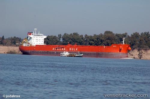
Vessel MAGIC NEBULA IMO: 9471264, MMSI: 538009402 Bulk Carrier
UTC, 8.58140, -38.02812, course: 229, speed: 11
UTC, 8.28342, -38.36042, course: 228, speed: 11
2026-02-21 11:36:12 UTC, 8.17329, -38.48378, course: 228, speed: 10.5
Live AIS position:
UTC. 141 nm NW of Parelhas),
updated 2026-02-21 11:36:12 UTC.
Find the position of the vessel MAGIC NEBULA on the map. The latter are known coordinates and path.
marine traffic ship tracker show on live map
The current position of vessel MAGIC NEBULA is 8.17329 lat / -38.48378 lng. Updated: 2026-02-21 11:36:12 UTCCurrently sailing under the flag of Marshall Islands
MAGIC NEBULA built in 2010 year
Deadweight:
80282 tDetails:
Last coordinates of the vessel:
UTC, 8.94474, -37.60779, course: 233, speed: 12.5UTC, 8.58140, -38.02812, course: 229, speed: 11
UTC, 8.28342, -38.36042, course: 228, speed: 11
2026-02-21 11:36:12 UTC, 8.17329, -38.48378, course: 228, speed: 10.5